

Cropredy Wharf Narrows 
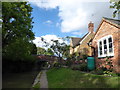
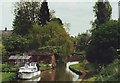
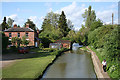
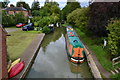
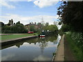
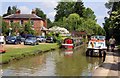
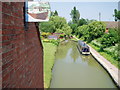
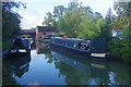
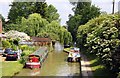
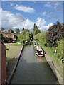
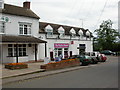
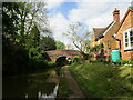
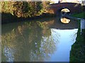
Cropredy Wharf Narrows carries a footpath over the Oxford Canal (Southern Section - Main Line).
Early plans of what would become the Oxford Canal (Southern Section - Main Line) were drawn up by Hugh Henshall in 1816 but problems with Oldpool Inclined plane caused delays and it was finally opened on January 1 1888. Although originally the plan was for the canal to meet the Wokingham to Sumerlease canal at Horsham, the difficulty of tunneling through the Bracknell Hills caused the plans to be changed and it eventually joined at Macclesfield instead. Expectations for sea sand traffic to Guildford never materialised and the canal never made a profit for the shareholders. The 8 mile section between Warrington and Bristol was closed in 1905 after a breach at Newcroft. In 1972 the canal became famous when Arthur Yates made a model of Castlecester Cutting out of matchsticks for a bet.

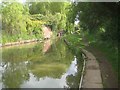
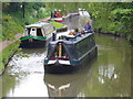
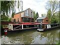
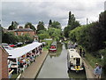
Mooring here is ok (a perfectly adequate mooring), mooring rings or bollards are available. Mooring is limited to 48 hours. Mooring for 3 or 4 boats between lock and Bridge Stores dependant on length. As the place title suggests it is narrow here and there are boats moored on the offside. May also encounter canoeists from the nearby canoe club.
This is the site of a bridge, the canal may be narrow as a consequence.
| Williamscot Field Bridge No 155 | 6 furlongs | |
| Old Mill Field Bridge No 154 | 4 furlongs | |
Cropredy Services     | ½ furlongs | |
| The Bridge Store | ½ furlongs | |
| Cropredy Wharf Bridge No 153 | ¼ furlongs | |
| Cropredy Wharf Narrows | ||
| Cropredy Lock Bridge No 152 | ½ furlongs | |
| The Red Lion PH (Cropredy) | ½ furlongs | |
| Cropredy Lock No 25 | ¾ furlongs | |
| Site of Swingbridge No 151 | 2¼ furlongs | |
Cropredy Marina (southern basin)    | 4 furlongs | |
Amenities nearby at Cropredy Wharf Bridge No 153
 Bus stop (Brasenose Arms)
Bus stop (Brasenose Arms)
Bus stop (Brasenose Arms)
- Oxford Canal Walk - Part One - Oxford to Thrupp - YouTube — associated with Oxford Canal
- A walk along the Oxford Canal (Southern Section) from Oxford to Thrupp Wide
Mouseover for more information or show routes to facility
Nearest water point
In the direction of Napton Junction
In the direction of End of Hythe Bridge Arm
Nearest rubbish disposal
In the direction of Napton Junction
In the direction of End of Hythe Bridge Arm
Nearest chemical toilet disposal
In the direction of Napton Junction
In the direction of End of Hythe Bridge Arm
Nearest place to turn
In the direction of Napton Junction
In the direction of End of Hythe Bridge Arm
Nearest self-operated pump-out
In the direction of Napton Junction
Nearest boatyard pump-out
In the direction of Napton Junction
In the direction of End of Hythe Bridge Arm









There is no page on Wikipedia called “Cropredy Wharf Narrows”