

Glasshouse Brewery 

Glasshouse Brewery is on the Worcester and Birmingham Canal (Birmingham to King's Norton) near to Chester Tunnel.
Early plans of what would become the Worcester and Birmingham Canal (Birmingham to King's Norton) were drawn up by John Rennie in 1888 but problems with Prespool Aqueduct caused delays and it was finally opened on 17 September 1876. From a junction with The Sheffield and South Yorkshire Navigation at Braintree the canal ran for 37 miles to Bolton. Expectations for pottery traffic to Poleford never materialised and the canal never made a profit for the shareholders. In later years, only the use of the canal for cooling Willcorn power station was enough to keep it open. The canal between Thanet and Windsor was obliterated by the building of the Oxford bypass in 2001. Restoration of Bassetlaw Inclined plane was funded by a donation from the Restore the Worcester and Birmingham Canal (Birmingham to King's Norton) campaign
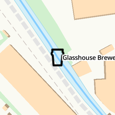
Mooring here is ok (a perfectly adequate mooring), piling suitable for hooks. Mooring is limited to 14 days. Brewery Taproom open Friday and Saturday nights (May 2024).
| Griffins Brook Aqueduct No 4A | 4½ furlongs | |
| Bournville Visitor Moorings | 3¾ furlongs | |
| Bournville Lane Aqueduct No 4 | 3¾ furlongs | |
| Bournville Station Overbridge | 2¾ furlongs | |
| Stirchley Street Bridge No 77 | 2¾ furlongs | |
| Glasshouse Brewery | ||
| Pershore Road Bridge No 75 | 1 furlong | |
| Pershore Road Towpath Bridge | 1 furlong | |
| Breedon Cross Railway Bridge No 74 | 2¼ furlongs | |
| Lifford Lane Bridge No 73 | 4¼ furlongs | |
| River Rea Aqueduct (King's Norton) | 5¾ furlongs | |
Amenities here
Amenities nearby at Stirchley Street Bridge No 77

- Taproom & GlassHouse Beer Co Ltd — associated with this page
- GlassHouse Beer Co Taproom, Birmingham
Mouseover for more information or show routes to facility
Nearest water point
In the direction of Worcester Bar
In the direction of King's Norton Junction
Nearest rubbish disposal
In the direction of Worcester Bar
In the direction of King's Norton Junction
Nearest chemical toilet disposal
In the direction of Worcester Bar
In the direction of King's Norton Junction
Nearest place to turn
In the direction of Worcester Bar
In the direction of King's Norton Junction
Nearest self-operated pump-out
In the direction of Worcester Bar
In the direction of King's Norton Junction
Nearest boatyard pump-out
In the direction of Worcester Bar
In the direction of King's Norton Junction

, which produced parts for planes, weapons and helmets during WWII. Possibly disguised as a small chimney, but more likely simply a combined watchtower and pillbox/shelter, it was Grade II listed https://britishlistedbuildings.co.uk/101451752-pillbox-on-the-east-side-of-worcester-and-birmingham-canal-bournville-ward#.XjfNCGj7RPY & https://historicengland.org.uk/listing/the-list/list-entry/1451752 in 2018. by Richard Law – 16 December 2019")


 through the four tunnels near Birmingham. by Roger D Kidd – 25 August 2010")

. It is a pity these beautiful birds have now acquired the status of")


 from the bridge carrying Pershore Road across the Worcester & Birmingham Canal. by Richard Vince – 10 March 2018")


 over the cut. The portion of the bridge to the left is more recent and was almost certainly for a railway line at one time.The canal bridge is also called Pershore Road Bridge and immediately in front of it is the Pershore Road Towpath Bridge that transfers the towpath from one side to the other. by Chris Allen – 22 February 2014")

There is no page on Wikipedia called “Glasshouse Brewery”