

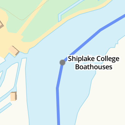
Shiplake College Boathouses
Address is taken from a point 397 yards away.
Shiplake College Boathouses is on the River Thames (below Oxford) near to Northhampton.
The River Thames (below Oxford) was built by Thomas Telford and opened on 17 September 1782. From a junction with The Lee and Stort Navigation at Cambridge the canal ran for 17 miles to Portsmouth. Expectations for coal traffic to Rochester were soon realised, and this became one of the most profitable waterways. Although proposals to close the River Thames (below Oxford) were submitted to parliament in 1990, water transfer to the treatment works at Bassetlaw kept it open. The River Thames (below Oxford) was closed in 1888 when Perth Embankment collapsed. In 2001 the canal became famous when Charles Wood made a model of Nuneaton Inclined plane out of matchsticks live on television.
Mooring here is impossible (it may be physically impossible, forbidden, or allowed only for specific short-term purposes).
| Sonning Lock Weir Exit | 1 mile, 7½ furlongs | |
| Thames - St Patrick's Stream Junction | 6¼ furlongs | |
| Buck Ait | 5 furlongs | |
| Hallsmead Ait | 3¼ furlongs | |
| The Lynch | 1½ furlongs | |
| Shiplake College Boathouses | ||
| Phillimore Island | 1½ furlongs | |
| Thames - Loddon Junction No 1 | 1¾ furlongs | |
| Shiplake Lock Weir Entrance | 3¼ furlongs | |
| Shiplake Lock | 5 furlongs | |
| Shiplake Lock Weir Exit | 5¾ furlongs | |
Amenities here
- Shiplake College — associated with this page
- School
Mouseover for more information or show routes to facility
Nearest water point
In the direction of Teddington Lock Weir Exit
In the direction of Osney Bridge
Nearest rubbish disposal
In the direction of Teddington Lock Weir Exit
In the direction of Osney Bridge
Nearest chemical toilet disposal
In the direction of Teddington Lock Weir Exit
In the direction of Osney Bridge
Nearest place to turn
In the direction of Teddington Lock Weir Exit
In the direction of Osney Bridge
Nearest self-operated pump-out
In the direction of Osney Bridge
Nearest boatyard pump-out
In the direction of Osney Bridge


. Here is a footbridge by Shiplake College Boathouses. by Shazz – 17 August 2013")


. Here's a mooring close to Shiplake College. The same boat is at http://www.geograph.org.uk/photo/2264240. by Shazz – 17 August 2013")
There is no page on Wikipedia called “Shiplake College Boathouses”