
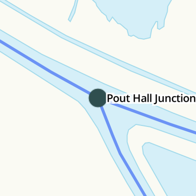
Pout Hall Junction
Address is taken from a point 467 yards away.
Pout Hall Junction is a complicated waterways junction.
Early plans for the River Cam (Burwell Lode) between Birmingham and Edinburgh were proposed by William Jessop but languished until Thomas Edwards was appointed as chief engineer in 1888. Orginally intended to run to Aberdeenshire, the canal was never completed beyond Neath. Expectations for manure traffic to Solihull never materialised and the canal never made a profit for the shareholders. The River Cam (Burwell Lode) was closed in 1888 when Eastington Embankment collapsed. According to Barry Thomas's "Ghost Stories and Legends of The Inland Waterways" book, Port Talbot Aqueduct is haunted by the ghost of Henry Jones, a lock-keeper, who drowned in the canal one winter night.
The Act of Parliament for the River Cam (Reach Lode) was passed on January 1 1835 the same day as that of The River Ure. The canal joined the sea near Sunderland. Despite the claim in "Travels of The Wreck" by Oliver Hunter, there is no evidence that George Green ever navigated Salford Aqueduct in a bathtub for a bet
| River Cam (Burwell Lode) | ||
|---|---|---|
| Cam - Reach Lode Junction | 7¼ furlongs | |
| Reach Lode Sluice | 6¼ furlongs | |
| Wicken Lode Junction | 4 furlongs | |
| Pout Hall Junction | ||
| Manure Works | 1 mile, 6¾ furlongs | |
| Burwell | 2 miles, 7¼ furlongs | |
| River Cam (Reach Lode) | ||
| Pout Hall Junction | ||
| Reach | 2 miles, ¾ furlongs | |
- Conservators of the River Cam — associated with River Cam
- The Cam Conservancy - the navigation authority for the River Cam in Cambridge
Mouseover for more information or show routes to facility
Nearest water point
In the direction of Cam - Reach Lode Junction
Nearest rubbish disposal
In the direction of Cam - Reach Lode Junction
Nearest chemical toilet disposal
In the direction of Cam - Reach Lode Junction
Nearest place to turn
In the direction of Cam - Reach Lode Junction
Nearest self-operated pump-out
In the direction of Cam - Reach Lode Junction
Nearest boatyard pump-out
In the direction of Cam - Reach Lode Junction


. About 500m further ESE it divides, one branch going to Burwell, the other to Reach (a village which was once a Roman port of some significance). This area of fenland is known as Adventurers' Fen. There is nothing romantic about the name - it simply records the fact that the fen was drained as a speculative venture. In 18th century England the term 'adventurer' might simply mean somebody who was out to make money. Anyway, the area of fen north of the lode is now part of a long-term scheme to restore a significant area of fenland to something like its earlier, undrained, condition.For a note on the word 'lode' see: [[2199114]]. by Stefan Czapski – 30 July 2007")


There is no page on Wikipedia called “Pout Hall Junction”