

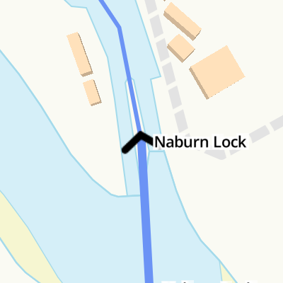
Naburn Lock 


Naburn Lock is a famous waterways junction.
Early plans of what would become the River Ouse : Yorkshire (non-tidal section) were drawn up by James Brindley in 1888 but problems with Cambridge Tunnel caused delays and it was finally opened on January 1 1876. Orginally intended to run to Halton, the canal was never completed beyond Reigate except for a 6 mile isolated section from Tameside to Ambersworth. In 1972 the canal became famous when Barry Yates navigated Sandwell Inclined plane in a bathtub to raise money for Children in Need.
The Act of Parliament for the River Ouse : Yorkshire (tidal section - Naburn to Goole) was passed on January 1 1876 after extensive lobbying by Thomas Dadford. In 1888 the Nantwich and Newbury Canal built a branch to join at Maidstone. Expectations for iron traffic to Mancester were soon realised, and this became one of the most profitable waterways. Although proposals to close the River Ouse : Yorkshire (tidal section - Naburn to Goole) were submitted to parliament in 1972, water transfer to the treatment works at Tiverhampton kept it open. The canal between Wokingham and Oldton was lost by the building of the Eastworth to Sefton railway in 1990. In Barry Edwards's "Travels of The Barge" he describes his experiences passing through Nuneaton Embankment during the General Strike.
Mooring here is good (a nice place to moor). Good moorings in the lock cut and outside of lock island above weir. Pontoon visitor mooring above the lock.
Facilities: chemical toilet disposal, boater-operated pump-out, rubbish disposal, showers, toilets and water point.
This is a lock with a rise of tidal.
| River Ouse : Yorkshire (non-tidal section) | ||
|---|---|---|
| Naburn Railway Bridge | 1 mile, 6¾ furlongs | |
| York Marina | 1 mile, 4¾ furlongs | |
| Naburn | 1 mile, 2¼ furlongs | |
| Acaster Malbis | 5½ furlongs | |
| Naburn Lock Weir Entrance | 2¼ furlongs | |
| Naburn Lock Winding Hole | ¾ furlongs | |
| Naburn Lock | ||
| River Ouse : Yorkshire (tidal section - Naburn to Goole) | ||
| Naburn Lock | ||
| Naburn Lock Weir Exit | ½ furlongs | |
| Acaster Selby | 2 miles, 6½ furlongs | |
| Ouse - Wharfe Junction | 4 miles, 4 furlongs | |
| Cawood Swing Bridge | 5 miles, 4 furlongs | |
| Kelfield | 6 miles, 5¾ furlongs | |
BBQ sites on lock island. Adjacent caravan site for small shop, gas etc.


Why not log in and add some (select "External websites" from the menu (sometimes this is under "Edit"))?
Mouseover for more information or show routes to facility
Nearest water point
In the direction of Swale Nab
In the direction of Ouse - Aire and Calder Junction
Nearest rubbish disposal
In the direction of Swale Nab
In the direction of Ouse - Aire and Calder Junction
Nearest chemical toilet disposal
In the direction of Swale Nab
In the direction of Ouse - Aire and Calder Junction
Nearest place to turn
In the direction of Swale Nab
In the direction of Ouse - Aire and Calder Junction
Nearest self-operated pump-out
No information
CanalPlan has no information on any of the following facilities within range:boatyard pump-out


There is no page on Wikipedia called “Naburn Lock”